The application of Global Positioning System (GPS) technology in agriculture has transformed how farmers manage their operations, leading to improved efficiency and productivity. Agricultural GPS guidance systems serve as the backbone of precision farming practices, enabling accurate field mapping, seamless navigation, and effective resource management. Here, we provide a technical overview of how GPS guidance works and its significance in modern agriculture.
The Principles of GPS Technology
GPS technology operates on the principle of triangulation, using signals transmitted from a network of satellites orbiting the Earth. A typical GPS constellation consists of at least 24 satellites that continuously transmit signals containing information about their location and the exact time the signals were sent. GPS receivers on the ground then capture these signals to determine their precise position.
To calculate this position, a GPS receiver needs signals from at least four satellites. By measuring the time it takes for each satellite’s signal to reach the receiver, the device can establish its distance from each satellite. This process of triangulation allows the receiver to pinpoint its location with remarkable accuracy, often within centimeters when paired with advanced methods like Real-Time Kinematic (RTK) positioning. This level of accuracy is critically important when applying agricultural GPS guidance systems in the field.
Applications of Agricultural GPS Guidance Systems
Agricultural GPS guidance systems leverage GPS technology to automate and enhance various farming tasks. The primary applications include field navigation, crop mapping, and resource management.
In terms of navigation, GPS guidance helps farmers traverse fields more efficiently, allowing tractors and machinery to follow predetermined paths with high accuracy. This minimizes overlap during planting, spraying, and fertilizing and ensures consistent coverage across the entire field. By reducing input waste and maximizing operational efficiency, farmers can significantly enhance their yield potential.
Another application of agricultural GPS guidance systems is in crop mapping and monitoring. Farmers can create detailed maps of their fields that highlight variations in soil types, moisture levels, and crop health. These insights allow for tailored interventions and precise application of fertilizers and pesticides, promoting sustainable farming practices.
Conclusion
The principles behind GPS technology are foundational to the effectiveness of agricultural GPS guidance systems. By providing accurate positioning and navigation capabilities, these systems play a crucial role in enhancing efficiency, reducing waste, and improving overall farm productivity.
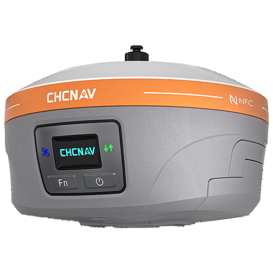
At CHCNAV Agriculture, we are committed to advancing the capabilities of agricultural GPS guidance systems to support modern farming practices. Our iBase AG GNSS base station for precision agriculture is designed to enhance operational efficiency by transmitting reliable GNSS RTK corrections over distances of up to 15 kilometers. This robust system is compatible with our autosteering solutions, ensuring that farmers can rely on accurate guidance in diverse field conditions, ultimately promoting greater productivity in precision farming.
